
Fayette topographic map
Interactive map
Click on the map to display elevation.
About this map
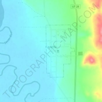
Name: Fayette topographic map, elevation, terrain.
Location: Fayette, Sanpete County, Utah, United States (39.21719 -111.85836 39.23106 -111.84856)
Average elevation: 5,085 ft
Minimum elevation: 5,016 ft
Maximum elevation: 5,341 ft