
Matapouri topographic map
Interactive map
Click on the map to display elevation.
About this map
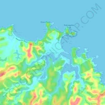
Name: Matapouri topographic map, elevation, terrain.
Location: Matapouri, Whangarei District, Northland, New Zealand (-35.58640 174.48307 -35.54640 174.52307)
Average elevation: 59 ft
Minimum elevation: -3 ft
Maximum elevation: 302 ft