
Niedercunnersdorf topographic map
Interactive map
Click on the map to display elevation.
About this map
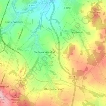
Name: Niedercunnersdorf topographic map, elevation, terrain.
Location: Niedercunnersdorf, Kottmar, Görlitz, Sachsen, Deutschland (51.02699 14.63320 51.07438 14.71735)
Average elevation: 1,106 ft
Minimum elevation: 837 ft
Maximum elevation: 1,437 ft
Other topographic maps
Click on a map to view its topography, its elevation and its terrain.
Eibau
Deutschland > Sachsen > Görlitz > Kottmar
Eibau, Kottmar, Görlitz, Sachsen, 02739, Deutschland
Average elevation: 1,316 ft