
Lüneburg topographic map
Interactive map
Click on the map to display elevation.
About this map
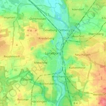
Name: Lüneburg topographic map, elevation, terrain.
Location: Lüneburg, Nedersaksen, 21339, Duitsland (53.20871 10.36786 53.28871 10.44786)
Average elevation: 105 ft
Minimum elevation: 16 ft
Maximum elevation: 230 ft