
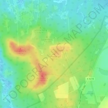
Tafelberg topographic map
Interactive map
Click on the map to display elevation.
About this map
Name: Tafelberg topographic map, elevation, terrain.
Location: Tafelberg, Königsbrück, Bautzen, Saksen, 01936, Duitsland (51.29498 13.88960 51.29508 13.88970)
Average elevation: 531 ft
Minimum elevation: 463 ft
Maximum elevation: 633 ft