
Kedopok topographic map
Interactive map
Click on the map to display elevation.
About this map
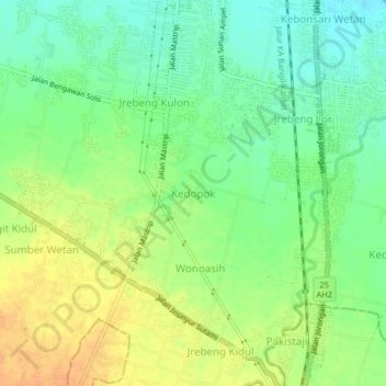
Name: Kedopok topographic map, elevation, terrain.
Location: Kedopok, Probolinggo, East Java, 67237, Indonesia (-7.81109 113.19504 -7.77109 113.23504)
Average elevation: 95 ft
Minimum elevation: 39 ft
Maximum elevation: 157 ft