
Kamlang WLS/Tiger Reserve topographic map
Interactive map
Click on the map to display elevation.
About this map
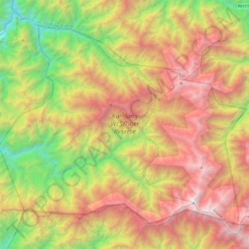
Name: Kamlang WLS/Tiger Reserve topographic map, elevation, terrain.
Average elevation: 7,224 ft
Minimum elevation: 1,043 ft
Maximum elevation: 14,751 ft