
Auburn topographic map
Interactive map
Click on the map to display elevation.
About this map
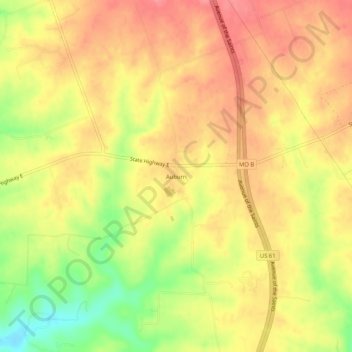
Name: Auburn topographic map, elevation, terrain.
Location: Auburn, Lincoln County, Missouri, USA (39.10671 -90.99403 39.14671 -90.95403)
Average elevation: 745 ft
Minimum elevation: 584 ft
Maximum elevation: 840 ft