
Komae topographic map
Interactive map
Click on the map to display elevation.
About this map
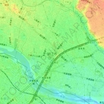
Name: Komae topographic map, elevation, terrain.
Location: Komae, Tokio, 関東地方, Japón (35.61843 139.56197 35.65074 139.59411)
Average elevation: 89 ft
Minimum elevation: 26 ft
Maximum elevation: 171 ft
Other topographic maps
Click on a map to view its topography, its elevation and its terrain.