
Fredonia topographic map
Interactive map
Click on the map to display elevation.
About this map
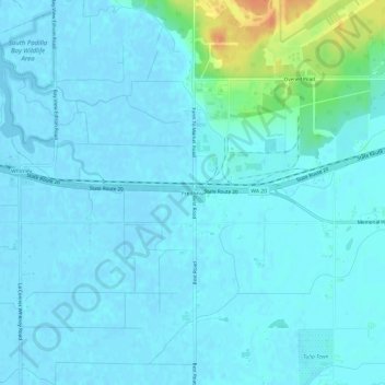
Name: Fredonia topographic map, elevation, terrain.
Location: Fredonia, Skagit County, Washington, USA (48.42577 -122.46418 48.46577 -122.42418)
Average elevation: 16 ft
Minimum elevation: -7 ft
Maximum elevation: 125 ft