
Bogura topographic map
Interactive map
Click on the map to display elevation.
About this map
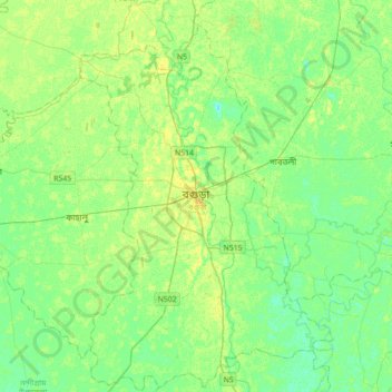
Name: Bogura topographic map, elevation, terrain.
Location: Bogura, Bogura District, Rajshahi Division, 5800, Bangladesh (24.68809 89.21295 25.00809 89.53295)
Average elevation: 59 ft
Minimum elevation: 36 ft
Maximum elevation: 82 ft