
Leytron topographic map
Interactive map
Click on the map to display elevation.
About this map
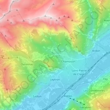
Name: Leytron topographic map, elevation, terrain.
Location: Leytron, Martigny, Valais/Wallis, Switzerland (46.17617 7.08844 46.23723 7.22385)
Average elevation: 4,236 ft
Minimum elevation: 1,519 ft
Maximum elevation: 9,692 ft