
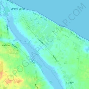
Lysgård topographic map
Interactive map
Click on the map to display elevation.
About this map
Name: Lysgård topographic map, elevation, terrain.
Location: Lysgård, Stevns Kommune, Region Seeland, 4671, Dänemark (55.38049 12.24274 55.42049 12.28274)
Average elevation: 20 ft
Minimum elevation: -13 ft
Maximum elevation: 98 ft