
小龙潭镇 topographic map
Interactive map
Click on the map to display elevation.
About this map
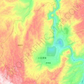
Name: 小龙潭镇 topographic map, elevation, terrain.
Location: 小龙潭镇, 开远市, 红河哈尼族彝族自治州, 云南省, 中国 (23.73730 103.06814 23.89858 103.23097)
Average elevation: 4,852 ft
Minimum elevation: 3,199 ft
Maximum elevation: 6,637 ft
Other topographic maps
Click on a map to view its topography, its elevation and its terrain.