
San Eduardo topographic map
Interactive map
Click on the map to display elevation.
About this map
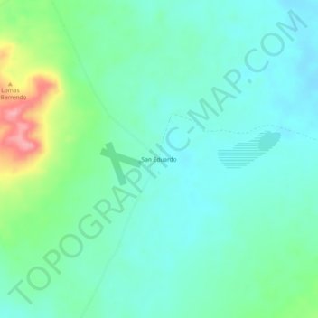
Name: San Eduardo topographic map, elevation, terrain.
Location: San Eduardo, Coyame del Sotol, Chihuahua, México (29.70080 -105.25766 29.74080 -105.21766)
Average elevation: 5,062 ft
Minimum elevation: 4,967 ft
Maximum elevation: 5,358 ft