
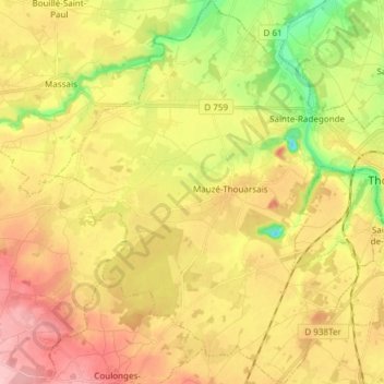
Mauzé-Thouarsais topographic map
Interactive map
Click on the map to display elevation.
About this map
Name: Mauzé-Thouarsais topographic map, elevation, terrain.
Average elevation: 318 ft
Minimum elevation: 69 ft
Maximum elevation: 541 ft
Other topographic maps
Click on a map to view its topography, its elevation and its terrain.
Féolles
France > Nouvelle-Aquitaine > Deux-Sèvres > Thouars
Féolles, Thouars, Bressuire, Deux-Sèvres, Nouvelle-Aquitaine, France métropolitaine, 79100, France
Average elevation: 289 ft
Thouars
France > Nouvelle-Aquitaine > Deux-Sèvres > Thouars
Thouars, Bressuire, Deux-Sèvres, Nouvelle-Aquitaine, France métropolitaine, 79100, France
Average elevation: 276 ft