
Lauria topographic map
Interactive map
Click on the map to display elevation.
About this map
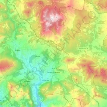
Name: Lauria topographic map, elevation, terrain.
Location: Lauria, PZ, Basilicata, Italy (39.98268 15.79689 40.16199 15.97766)
Average elevation: 2,710 ft
Minimum elevation: 246 ft
Maximum elevation: 6,558 ft