
Nadelbach topographic map
Interactive map
Click on the map to display elevation.
About this map
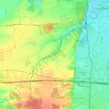
Name: Nadelbach topographic map, elevation, terrain.
Location: Nadelbach, St. Pölten, Niederösterreich, 3106, Österreich (48.16742 15.57622 48.20742 15.61622)
Average elevation: 978 ft
Minimum elevation: 886 ft
Maximum elevation: 1,076 ft