
Castres topographic map
Interactive map
Click on the map to display elevation.
About this map
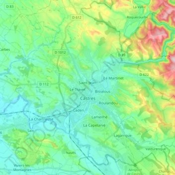
Name: Castres topographic map, elevation, terrain.
Location: Castres, Tarn, Occitania, Metropolitan France, 81100, France (43.55594 2.15632 43.67033 2.33343)
Average elevation: 758 ft
Minimum elevation: 502 ft
Maximum elevation: 1,529 ft