
Thank you for supporting this site ❤️
Make a donation
Make a donation
Gear up for your next adventure:
As an Amazon Associate, this site earns from qualifying purchases at no extra cost to you.
Tomina topographic map
Click on the map to display elevation.
Thank you for supporting this site ❤️
Make a donation
Make a donation
Gear up for your next adventure:
As an Amazon Associate, this site earns from qualifying purchases at no extra cost to you.
About this map
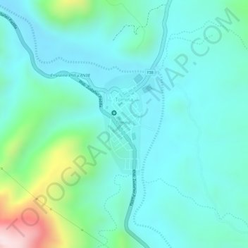
Name: Tomina topographic map, elevation, terrain.
Location: Tomina, Provincia Tomina, Chuquisaca, Bolivia (-19.19345 -64.46442 -19.18228 -64.45792)
Average elevation: 6,923 ft
Minimum elevation: 6,604 ft
Maximum elevation: 8,045 ft
Thank you for supporting this site ❤️
Make a donation
Make a donation
Gear up for your next adventure:
As an Amazon Associate, this site earns from qualifying purchases at no extra cost to you.