
Watford City topographic map
Interactive map
Click on the map to display elevation.
About this map
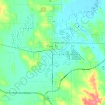
Name: Watford City topographic map, elevation, terrain.
Location: Watford City, McKenzie County, North Dakota, United States (47.76126 -103.32610 47.83360 -103.20834)
Average elevation: 2,116 ft
Minimum elevation: 2,028 ft
Maximum elevation: 2,405 ft