
Mangoli topographic map
Interactive map
Click on the map to display elevation.
About this map
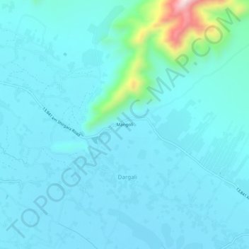
Name: Mangoli topographic map, elevation, terrain.
Location: Mangoli, Kama, Nangarhar, Afghanistan (34.42594 70.61561 34.46594 70.65561)
Average elevation: 1,877 ft
Minimum elevation: 1,703 ft
Maximum elevation: 3,241 ft