Geolocate

Meitingen topographic map

Click on the map to display elevation.

About this map

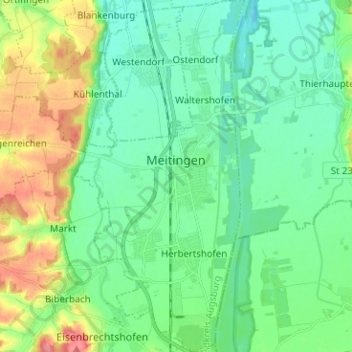
Name: Meitingen topographic map, elevation, terrain.

Location: Meitingen, Augsburg (district), Bavaria, 86405, Germany (48.50439 10.76157 48.58788 10.87461)

Average elevation: 1,444 ft

Minimum elevation: 1,358 ft

Maximum elevation: 1,660 ft

Gear up for your next adventure:

🗻Climbing Gear Basics - Essential gear for beginner climbers
🔭Telescopic Hiking Pole - Adjustable pole for hiking stability
🧴Hand Sanitizer - Keep hands clean while hiking
🏔️Mountain Trail Maps - High‑detail maps for popular peaks
🎒Trail Energy Bars - High‑calorie bars for hiking energy

As an Amazon Associate, this site earns from qualifying purchases at no extra cost to you.