
Sadler topographic map
Interactive map
Click on the map to display elevation.
About this map
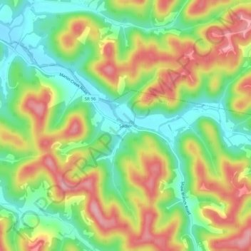
Name: Sadler topographic map, elevation, terrain.
Location: Sadler, Putnam County, Tennessee, United States of America (36.20367 -85.75609 36.24367 -85.71609)
Average elevation: 748 ft
Minimum elevation: 515 ft
Maximum elevation: 1,027 ft