
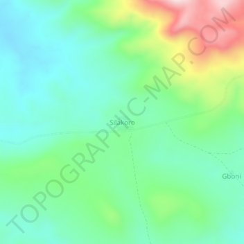
Silakoro topographic map
Interactive map
Click on the map to display elevation.
About this map
Name: Silakoro topographic map, elevation, terrain.
Location: Silakoro, Bafing, Woroba, Côte d'Ivoire (8.17774 -7.66580 8.21774 -7.62580)
Average elevation: 2,037 ft
Minimum elevation: 1,660 ft
Maximum elevation: 2,966 ft