
Gilead topographic map
Interactive map
Click on the map to display elevation.
About this map
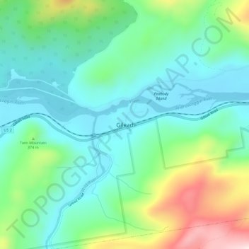
Name: Gilead topographic map, elevation, terrain.
Location: Gilead, Oxford County, Maine, United States of America (44.37454 -70.99305 44.41454 -70.95305)
Average elevation: 1,066 ft
Minimum elevation: 656 ft
Maximum elevation: 2,142 ft