
Grønningen topographic map
Interactive map
Click on the map to display elevation.
About this map
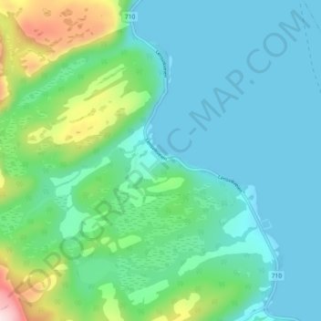
Name: Grønningen topographic map, elevation, terrain.
Location: Grønningen, Orkland, Trøndelag, Norway (63.56011 9.73869 63.60011 9.77869)
Average elevation: 262 ft
Minimum elevation: 0 ft
Maximum elevation: 1,289 ft