
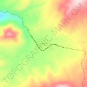
Urapa topographic map
Interactive map
Click on the map to display elevation.
About this map
Name: Urapa topographic map, elevation, terrain.
Location: Urapa, Ario, Michoacán de Ocampo, México (19.08426 -101.69897 19.12426 -101.65897)
Average elevation: 6,037 ft
Minimum elevation: 5,331 ft
Maximum elevation: 6,647 ft