
Tacagua topographic map
Interactive map
Click on the map to display elevation.
About this map
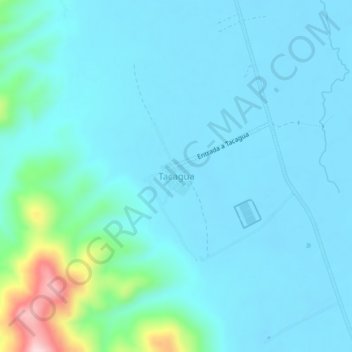
Name: Tacagua topographic map, elevation, terrain.
Location: Tacagua, Ingavi, La Paz, Bolivia (-16.80010 -68.35667 -16.76010 -68.31667)
Average elevation: 12,779 ft
Minimum elevation: 12,661 ft
Maximum elevation: 13,563 ft