
Fontana topographic map
Interactive map
Click on the map to display elevation.
About this map
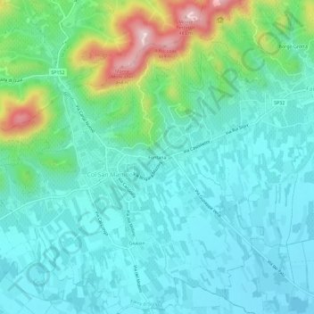
Name: Fontana topographic map, elevation, terrain.
Location: Fontana, Treviso, Veneto, 31010, Italia (45.87659 12.07443 45.91659 12.11443)
Average elevation: 636 ft
Minimum elevation: 384 ft
Maximum elevation: 1,526 ft