
红旗塘 topographic map
Interactive map
Click on the map to display elevation.
About this map
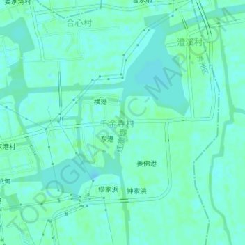
Name: 红旗塘 topographic map, elevation, terrain.
Location: 红旗塘, District de Xiuzhou, Jiaxing, Zhejiang, Chine (30.87964 120.77734 30.88844 120.77846)
Average elevation: 10 ft
Minimum elevation: 0 ft
Maximum elevation: 23 ft