
Moulya topographic map
Interactive map
Click on the map to display elevation.
About this map
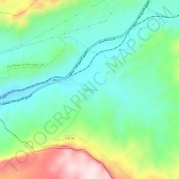
Name: Moulya topographic map, elevation, terrain.
Location: Moulya, Daïra Aïn Touta, Batna, Algérie (35.25697 5.77768 35.29697 5.81768)
Average elevation: 2,510 ft
Minimum elevation: 2,041 ft
Maximum elevation: 3,550 ft