
khlong la topographic map
Interactive map
Click on the map to display elevation.
About this map
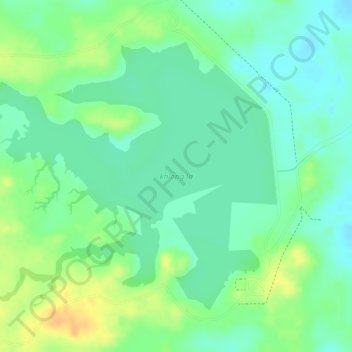
Name: khlong la topographic map, elevation, terrain.
Location: khlong la, สข.4034, Ban Khao Rang, Songkhla Province, Thailand (6.86187 100.30174 6.88313 100.32986)
Average elevation: 154 ft
Minimum elevation: 108 ft
Maximum elevation: 217 ft