
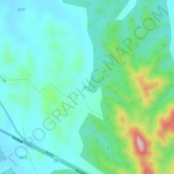
徐塝 topographic map
Interactive map
Click on the map to display elevation.
About this map
Name: 徐塝 topographic map, elevation, terrain.
Location: 徐塝, Hefei, 庐江县 (Lujiang), Anhui, 231500, China (30.98031 117.38451 31.02031 117.42451)
Average elevation: 371 ft
Minimum elevation: 131 ft
Maximum elevation: 1,214 ft