
Radium topographic map
Interactive map
Click on the map to display elevation.
About this map
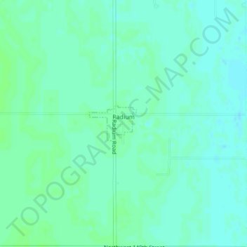
Name: Radium topographic map, elevation, terrain.
Location: Radium, Stafford County, Kansas, United States (38.17150 -98.89818 38.17537 -98.89164)
Average elevation: 1,955 ft
Minimum elevation: 1,942 ft
Maximum elevation: 1,965 ft
Other topographic maps
Click on a map to view its topography, its elevation and its terrain.
St. John
United States > Kansas > Stafford County
St. John, Stafford County, Kansas, 67576, United States
Average elevation: 1,906 ft
Neola
United States > Kansas > Stafford County
Neola, Stafford County, Kansas, United States
Average elevation: 1,804 ft