Geolocate

Neola topographic map

Click on the map to display elevation.

About this map

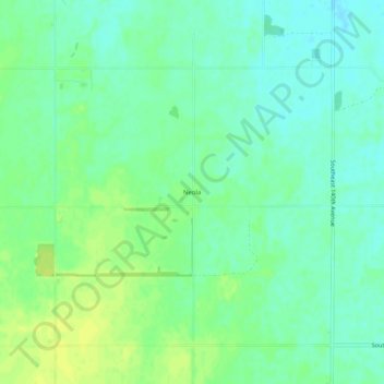
Name: Neola topographic map, elevation, terrain.

Location: Neola, Stafford County, Kansas, United States (37.84946 -98.52897 37.88946 -98.48897)

Average elevation: 1,804 ft

Minimum elevation: 1,778 ft

Maximum elevation: 1,837 ft

Stafford County trails, hiking, mountain biking, running and outdoor activities

Other topographic maps

Click on a map to view its topography, its elevation and its terrain.

Radium

United States > Kansas > Stafford County

Average elevation: 1,955 ft

Gear up for your next adventure:

👖Convertible Hiking Pants - Versatile zip-off pants for changing altitudes and temperatures
⛑️Personal Locator Beacon - Safety beacon for emergencies
🔦Powerful Headlamps - Ultra-bright hands-free lighting for night navigation
🏕️Tent Footprint - Protect your tent base from wear
🥩Freeze-Dried Meals - Nutritious and lightweight food for remote expeditions

As an Amazon Associate, this site earns from qualifying purchases at no extra cost to you.