
Islita topographic map
Interactive map
Click on the map to display elevation.
About this map
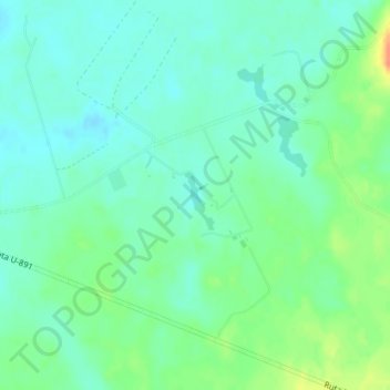
Name: Islita topographic map, elevation, terrain.
Average elevation: 354 ft
Minimum elevation: 312 ft
Maximum elevation: 453 ft
Other topographic maps
Click on a map to view its topography, its elevation and its terrain.
Río Maule
Chile > Región de Los Lagos > Purranque
Río Maule, Purranque, Provincia de Osorno, Región de Los Lagos, Chile
Average elevation: 456 ft