
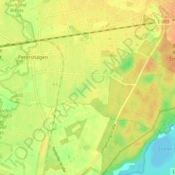
Petershagen-Süd topographic map
Interactive map
Click on the map to display elevation.
About this map
Name: Petershagen-Süd topographic map, elevation, terrain.
Average elevation: 177 ft
Minimum elevation: 112 ft
Maximum elevation: 213 ft
Other topographic maps
Click on a map to view its topography, its elevation and its terrain.
Eggersdorf-Süd
Deutschland > Brandenburg > Märkisch-Oderland > Petershagen/Eggersdorf
Eggersdorf-Süd, Eggersdorf, Petershagen/Eggersdorf, Märkisch-Oderland, Brandenburg, Deutschland
Average elevation: 187 ft