
Lake Rohunta topographic map
Interactive map
Click on the map to display elevation.
About this map
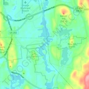
Name: Lake Rohunta topographic map, elevation, terrain.
Average elevation: 597 ft
Minimum elevation: 502 ft
Maximum elevation: 889 ft
Other topographic maps
Click on a map to view its topography, its elevation and its terrain.
Hamilton Island
USA > Massachusetts > New Salem
Hamilton Island, New Salem, Franklin, Massachusetts, USA
Average elevation: 564 ft