
Le Nafraiture topographic map
Interactive map
Click on the map to display elevation.
About this map
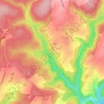
Name: Le Nafraiture topographic map, elevation, terrain.
Location: Le Nafraiture, Vresse-sur-Semois, Namen, Wallonië, België (49.88973 4.89194 49.91880 4.93254)
Average elevation: 1,165 ft
Minimum elevation: 810 ft
Maximum elevation: 1,332 ft