
Rampart topographic map
Interactive map
Click on the map to display elevation.
About this map
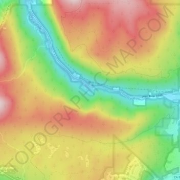
Name: Rampart topographic map, elevation, terrain.
Location: Rampart, Placer County, California, 96145, USA (39.14463 -120.19825 39.18463 -120.15825)
Average elevation: 6,864 ft
Minimum elevation: 6,191 ft
Maximum elevation: 7,490 ft