
天山乡 topographic map
Interactive map
Click on the map to display elevation.
About this map
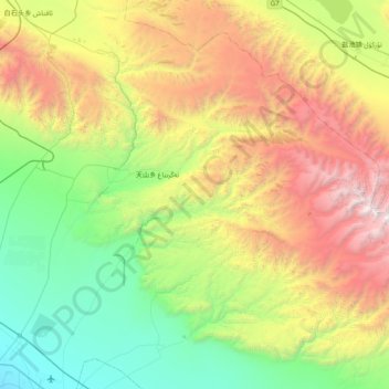
Name: 天山乡 topographic map, elevation, terrain.
Location: 天山乡, 伊州区, 哈密市, 新疆维吾尔自治区, 中国 (42.86441 93.55212 43.35344 94.32984)
Average elevation: 6,594 ft
Minimum elevation: 2,500 ft
Maximum elevation: 14,934 ft
Other topographic maps
Click on a map to view its topography, its elevation and its terrain.