
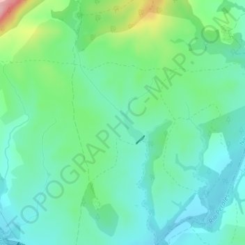
Arroyo del Cura topographic map
Interactive map
Click on the map to display elevation.
About this map
Name: Arroyo del Cura topographic map, elevation, terrain.
Average elevation: 1,785 ft
Minimum elevation: 1,654 ft
Maximum elevation: 2,159 ft
Other topographic maps
Click on a map to view its topography, its elevation and its terrain.
Malpartida
España > Comunidad de Madrid > Navalagamella
Malpartida, Navalagamella, Sierra Oeste, Comunidad de Madrid, España
Average elevation: 1,795 ft