
Souli Municipality topographic map
Click on the map to display elevation.
About this map
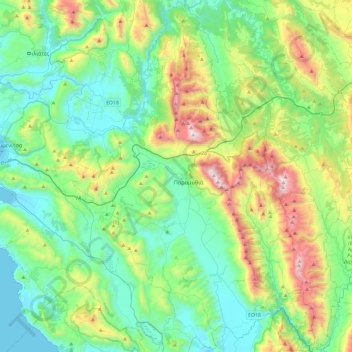
Name: Souli Municipality topographic map, elevation, terrain.
Average elevation: 1,388 ft
Minimum elevation: -3 ft
Maximum elevation: 5,338 ft
Other topographic maps
Click on a map to view its topography, its elevation and its terrain.
Kefalovryso
Greece > Epirus and Western Macedonia > Thesprotia Regional Unit
Average elevation: 1,243 ft