
Isla Caigüire topographic map
Interactive map
Click on the map to display elevation.
About this map
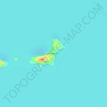
Name: Isla Caigüire topographic map, elevation, terrain.
Location: Isla Caigüire, Santa Rita, Aragua, Venezuela (10.14224 -67.63588 10.14957 -67.62612)
Average elevation: 1,332 ft
Minimum elevation: 1,309 ft
Maximum elevation: 1,512 ft