
Johnson's Shut-Ins State Park topographic map
Interactive map
Click on the map to display elevation.
About this map
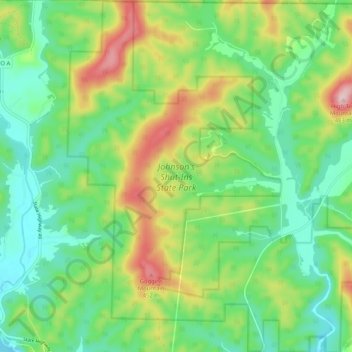
Name: Johnson's Shut-Ins State Park topographic map, elevation, terrain.
Average elevation: 1,020 ft
Minimum elevation: 738 ft
Maximum elevation: 1,572 ft