
Voldertalbach topographic map
Interactive map
Click on the map to display elevation.
About this map
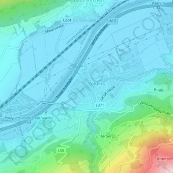
Name: Voldertalbach topographic map, elevation, terrain.
Average elevation: 2,067 ft
Minimum elevation: 1,791 ft
Maximum elevation: 3,622 ft
Other topographic maps
Click on a map to view its topography, its elevation and its terrain.
Volders
Österreich > Tirol > Volders
Volders, Bezirk Innsbruck-Land, Tirol, 6111, Österreich
Average elevation: 2,303 ft