
Pulosari topographic map
Interactive map
Click on the map to display elevation.
About this map
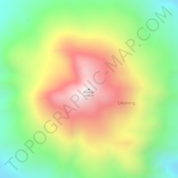
Name: Pulosari topographic map, elevation, terrain.
Location: Pulosari, Cikoneng, Pandeglang, Banten, 42271, Indonesia (-6.34171 105.97829 -6.34161 105.97839)
Average elevation: 2,986 ft
Minimum elevation: 1,745 ft
Maximum elevation: 4,318 ft