
Chelsea topographic map
Interactive map
Click on the map to display elevation.
About this map
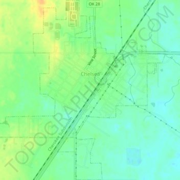
Name: Chelsea topographic map, elevation, terrain.
Location: Chelsea, Rogers County, Oklahoma, USA (36.51739 -95.45357 36.54822 -95.41635)
Average elevation: 715 ft
Minimum elevation: 676 ft
Maximum elevation: 774 ft