
攸攸板镇 topographic map
Interactive map
Click on the map to display elevation.
About this map
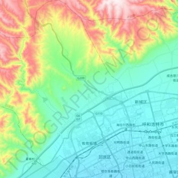
Name: 攸攸板镇 topographic map, elevation, terrain.
Location: 攸攸板镇, 回民区, 呼和浩特市, 内蒙古自治区, 中国 (40.78873 111.43886 40.94698 111.64516)
Average elevation: 4,190 ft
Minimum elevation: 3,409 ft
Maximum elevation: 6,161 ft
Other topographic maps
Click on a map to view its topography, its elevation and its terrain.